

General Information
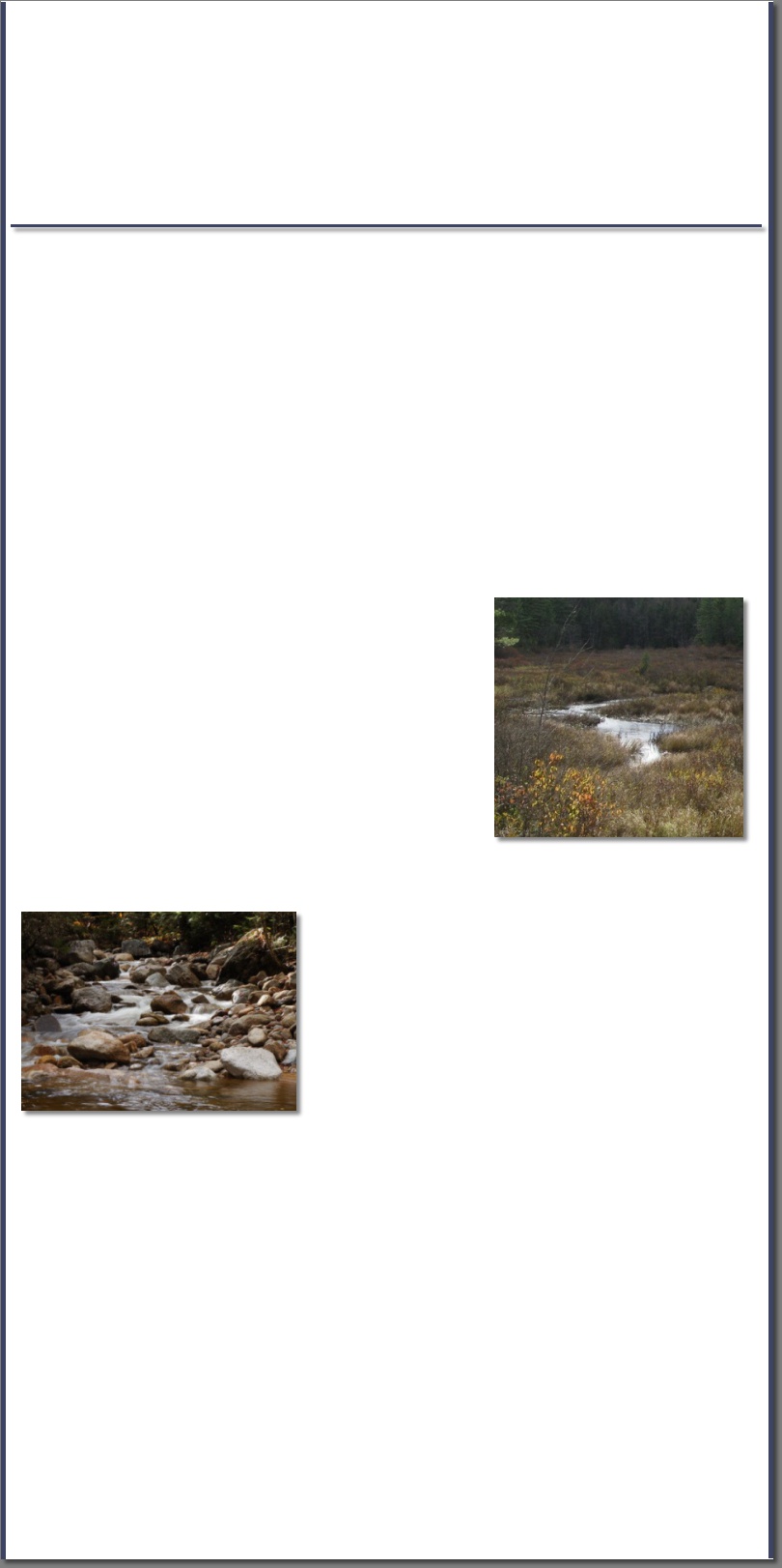
Wetlands are areas that are covered by water or have waterlogged soils for long periods of time during the growing season. Plants growing in wetlands are capable of living in saturated soil conditions for at least part of the growing season. Wetlands such as swamps and marshes are often obvious, but some wetlands are not easily recognized, often because they are dry during part of the year or they just don't look very wet.
Wetlands have been protected under the Clean Water Act since 1969. The Army Corps of Engineers (ACOE) regulates all proposed wetland impacts through a permitting process. The state of New Hampshire also has regulations that protect wetlands, and to avoid duplicate reviews the ACOE has granted the NH Wetland Bureau permission to review and approve wetland impacts through the Department of the Army Programmatic General Permit. While most projects only need to be reviewed by the NH Wetlands Bureau, the ACOE does reserve the right to pull projects for a Corps Individual Permit.
The New Hampshire Wetlands Bureaus objective is, "To protect and preserve submerged lands under tidal and freshwaters and its wetlands, both salt water and fresh-water, from unregulated alteration that would adversely affect the natural ability of wetlands to absorb flood waters, treat stormwater and recharge groundwater supplies, impact fish and wildlife of significant value and depreciate or obstruct the commerce, recreation and the aesthetic enjoyment of the public."
Wetlands

Delineation
If you are planning to develop, fill, or regrade any land it is a good idea to have the area assessed for wetlands. Knowing the location of any wetlands in or around your proposed project not only allows you to avoid or minimize wetland impacts, it can also save you a significant amount of time and money by avoiding a potential wetland violation.
All wetland delineations conducted by Aspen Environmental Consultants are reviewed by a New Hampshire, Certified Wetland Scientist. The delineation process usually starts with an assessment of available data for the project location. This could include a wide range of data sources such as, subdivision plans, topographic maps, soil maps, national wetland inventory maps, aerial photographs, etc. After the initial review the on-site delineation will commence. If any wetlands are found their boundaries are marked with biodegradable pink and black striped flagging (under most circumstances the wetland flags will remain in place for at least one year before they start to degrade). At this point we provide our Client with a rough sketch of the wetland boundaries along with a delineation report outlining our findings. Depending on your needs we can also survey the wetland flags and provide an accurate plan designed to fit your needs.
Functions & Values Assessments
Knowing the functions and values of the wetlands located in and around your project can allow for better project design, reduced environmental impacts, and a smoother permitting process. In most cases the project footprint (wetland impact in square feet) is a major concern during the permitting process since the State of NH and the Army Corps of Engineers mandates a project use the least impacting alternative. However, in some cases the least impacting alternative may not be the smallest footprint. Impacting a larger area of a low value wetland may be better for the environment than a smaller crossing in a high value wetland.
Vernal Pool Assessments
Vernal pools (also referenced as seasonal pools, temporary ponds, ephemeral wetlands, woodland ponds, etc) provide isolated aquatic habitats that are important breeding, nursery, and feeding grounds for many amphibians, invertebrates, turtles, snakes, birds, and mammals. These pools are often located in small depressions that fill primarily from snow melt and large rain events. They can hold water for a few weeks or months depending on the environmental conditions, and can be easy to overlook once they have dried. Vernal pools are typically assessed by observing when, how, and by whom the pools are used. Unlike most wetland delineations, vernal pool assessments usually require multiple trips to the site during spring and early summer. Preliminary vernal pool assessments can be done during other times of year, but final assessments must be done in the spring.
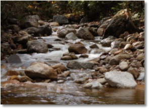
Streams:
Streams also fall under the jurisdiction of the NHDES Wetlands Bureau. The design and permitting of a stream crossing is a very important part of your project. An improperly designed crossing can not only disrupt access to your land, but could pose a risk to properties downstream from you. At a basic level, streams can be broken into three main classifications; ephemeral, intermittent, and perennial. All three stream classifications will have a defined channel but the amount of time the streams flow will vary. During a year with normal rainfall, ephemeral streams will flow only during snow melt or rain events, intermittent streams will flow for most of the year, and perennial streams will flow year round. Aspen Environmental Consultants can locate any streams within your project, classify them, determine the best crossing location, design a crossing to meet your needs, and obtain the necessary permits.
Streams also fall under the jurisdiction of the NHDES Wetlands Bureau. The design and permitting of a stream crossing is a very important part of your project. An improperly designed crossing can not only disrupt access to your land, but could pose a risk to properties downstream from you. At a basic level, streams can be broken into three main classifications; ephemeral, intermittent, and perennial. All three stream classifications will have a defined channel but the amount of time the streams flow will vary. During a year with normal rainfall, ephemeral streams will flow only during snow melt or rain events, intermittent streams will flow for most of the year, and perennial streams will flow year round. Aspen Environmental Consultants can locate any streams within your project, classify them, determine the best crossing location, design a crossing to meet your needs, and obtain the necessary permits.